

- Duration: 3.5 – 4.5 hours
- Length: approx.7 km each way, a total of 14 km
- Mostfjellet is 995 meters above sea level. Sollifjellet is 969 meters above sea level.
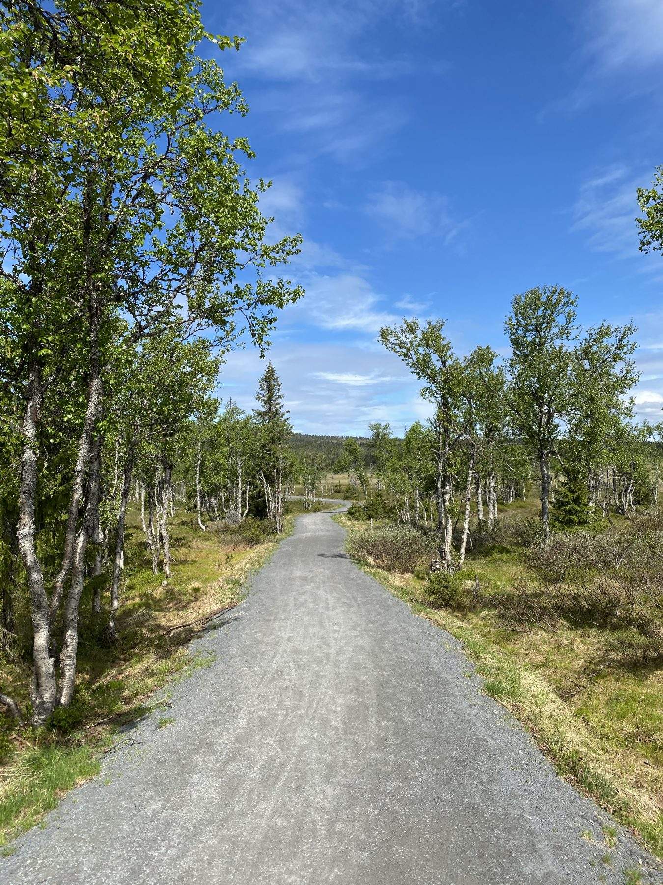
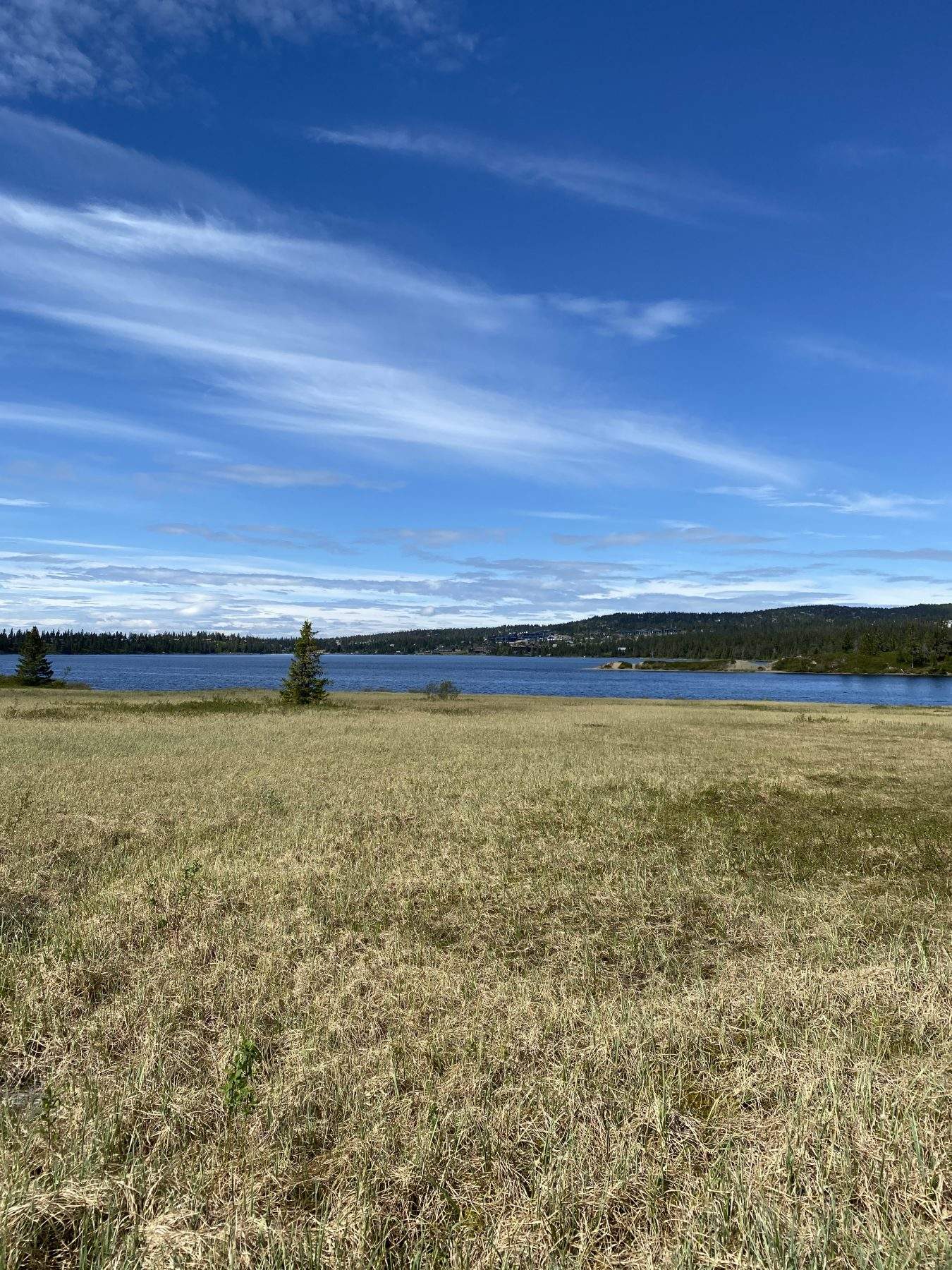
You start the trip at the hotel.The first 2.5 km are on easy terrain on a gravel road along Sjusjøvannet. This stretch can be cycled or walked, depending on what you prefer.
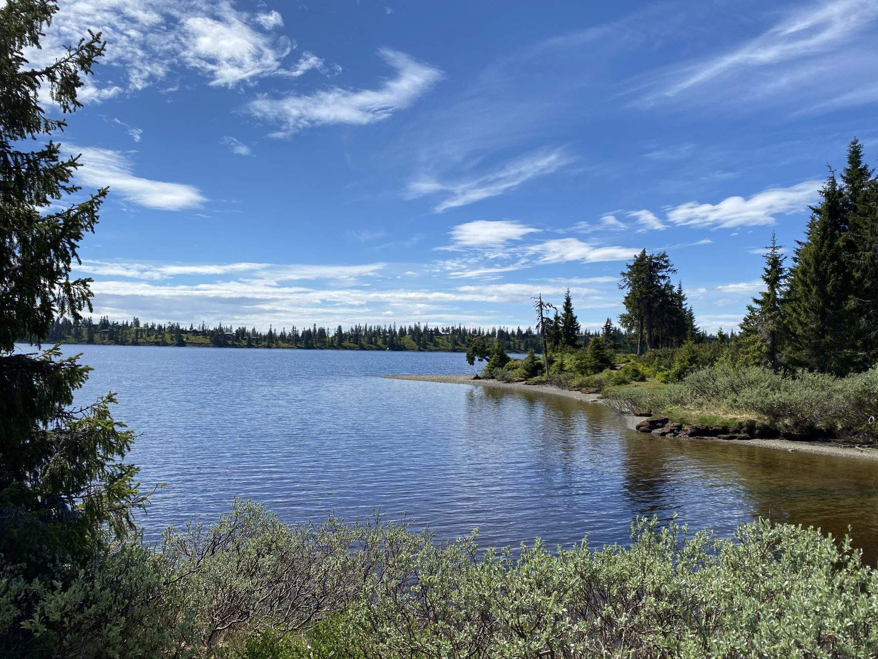
At the end of the water, the dirt road goes up a little, at the top you come to a viewpoint where you can put the bike down.
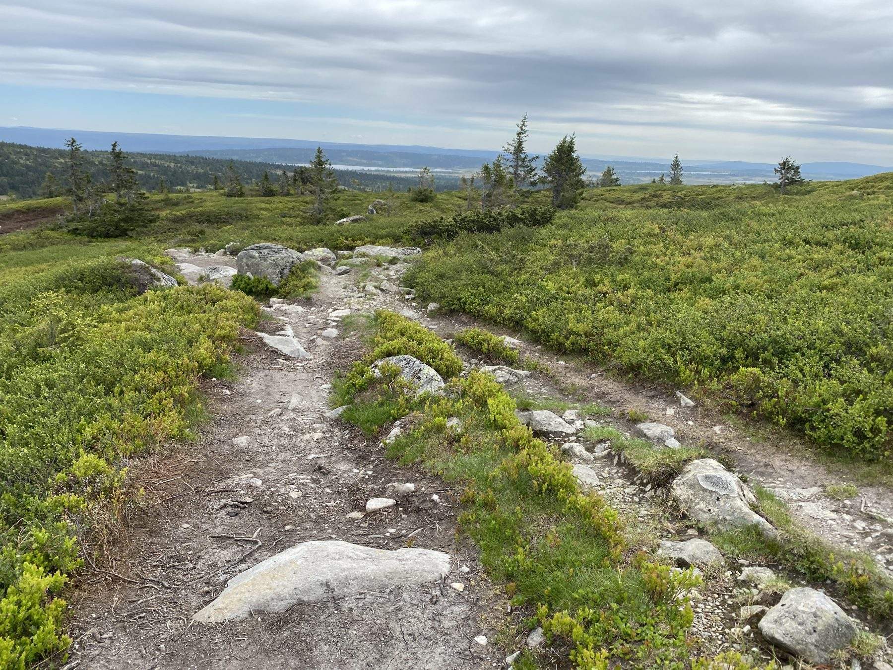
From here, the trip goes on a trail. You can choose to do the trip as a round trip or back and forth. The round is a little more hilly and a little more demanding. If you go back and forth, you get a shorter trip, an easier path and more time above the tree limit.
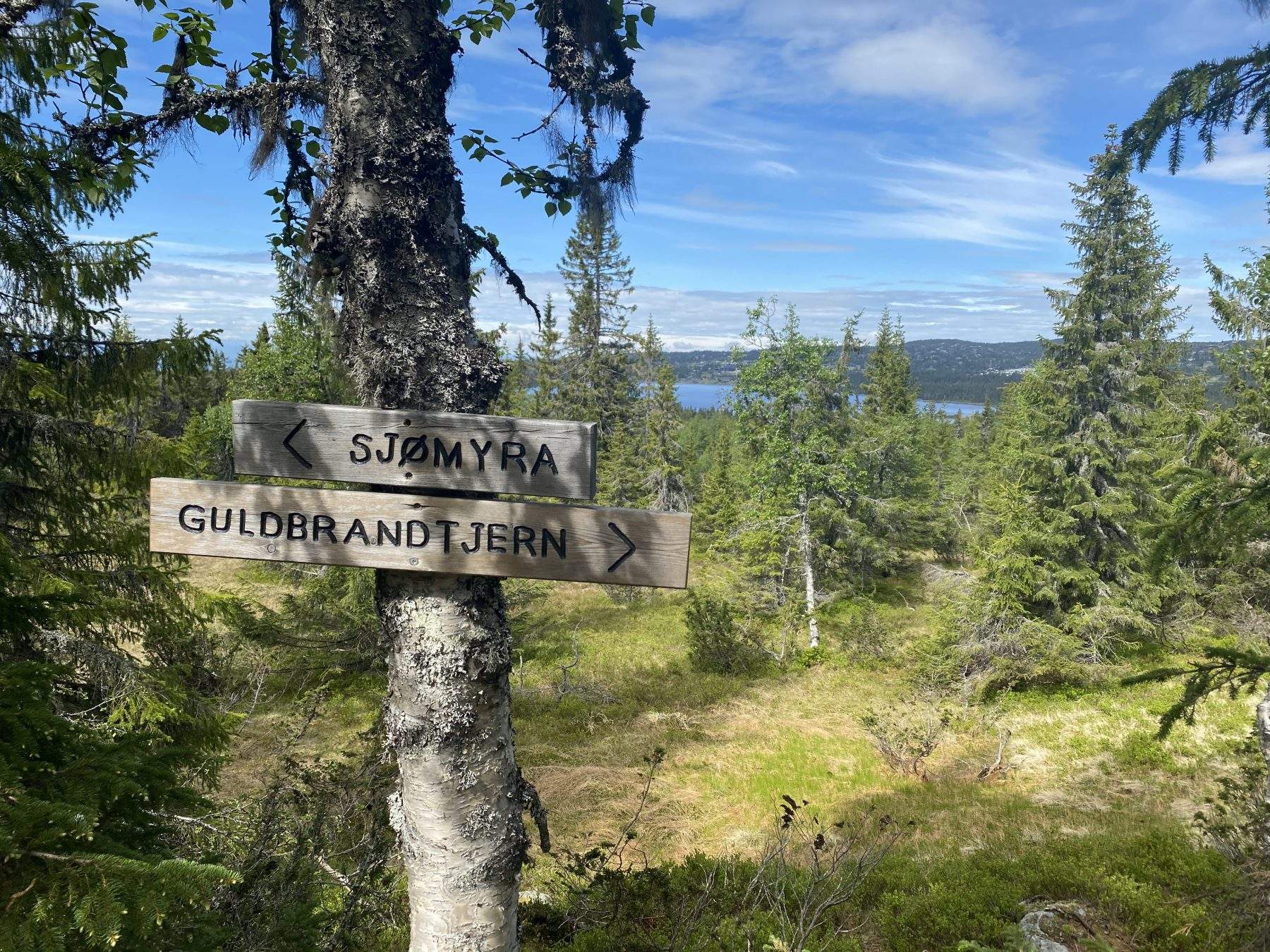
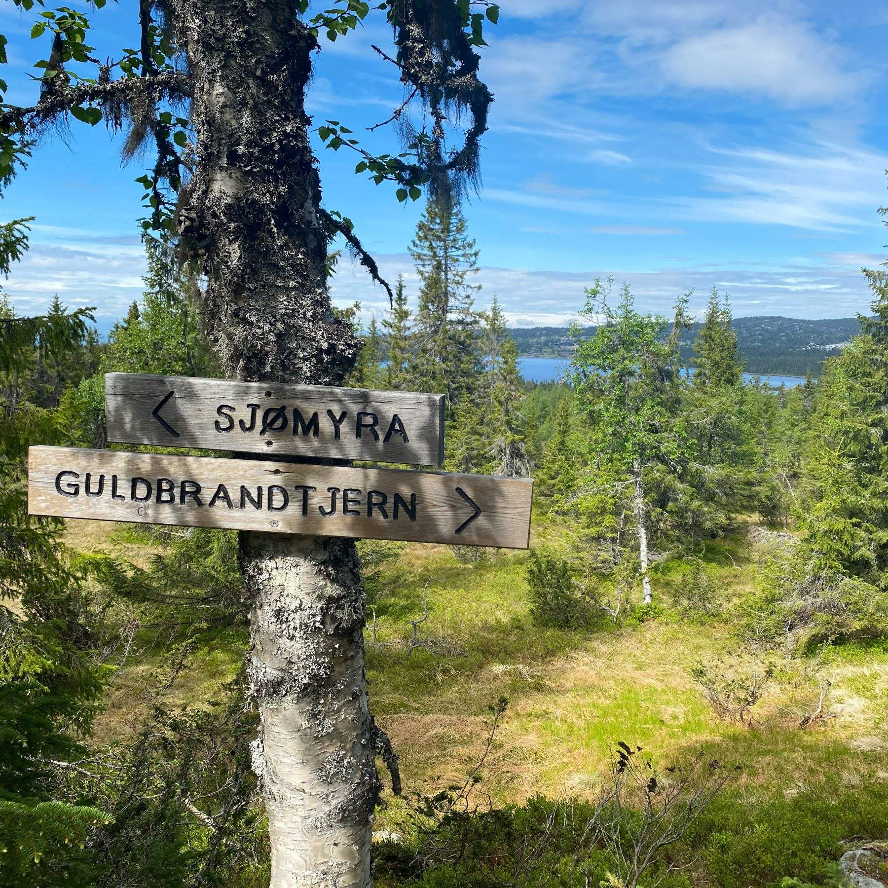
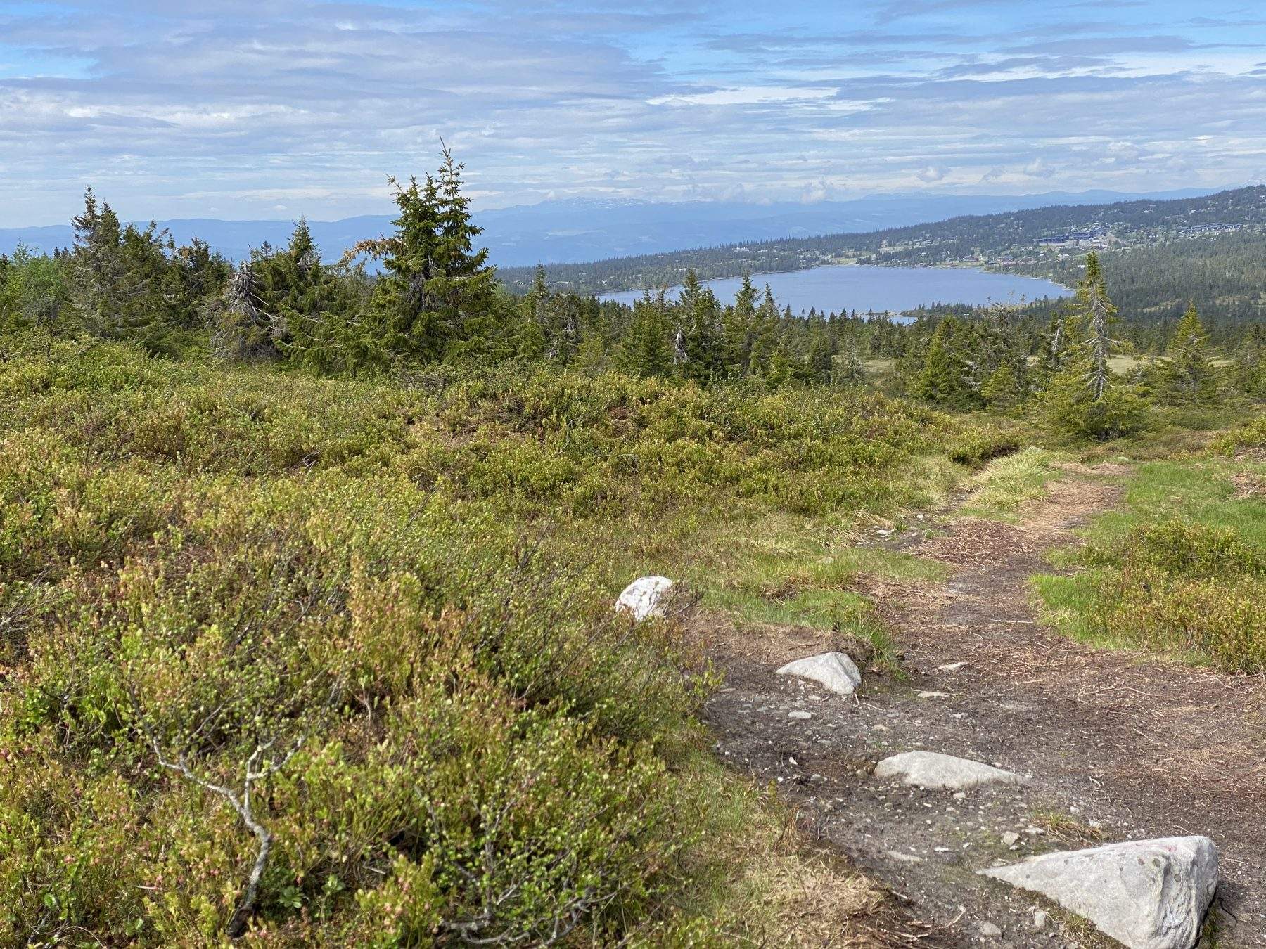
For the full tour you turn left at the crossroads. This is the lower path towards Gulbrandtjernet. After a few minutes, you come to a new junction with an arrow pointing up towards Sollifjell. You will then soon come up above the tree line. Here you will get the nice view and will be quickly at the top of Sollifjell 996 m above sea level.
After a short breather on the ground to enjoy the view, follow the ridge and on to a good path towards Mostfjellet. You have to go down a bit and up again before you can cross off peak no. 2 at 974 m.
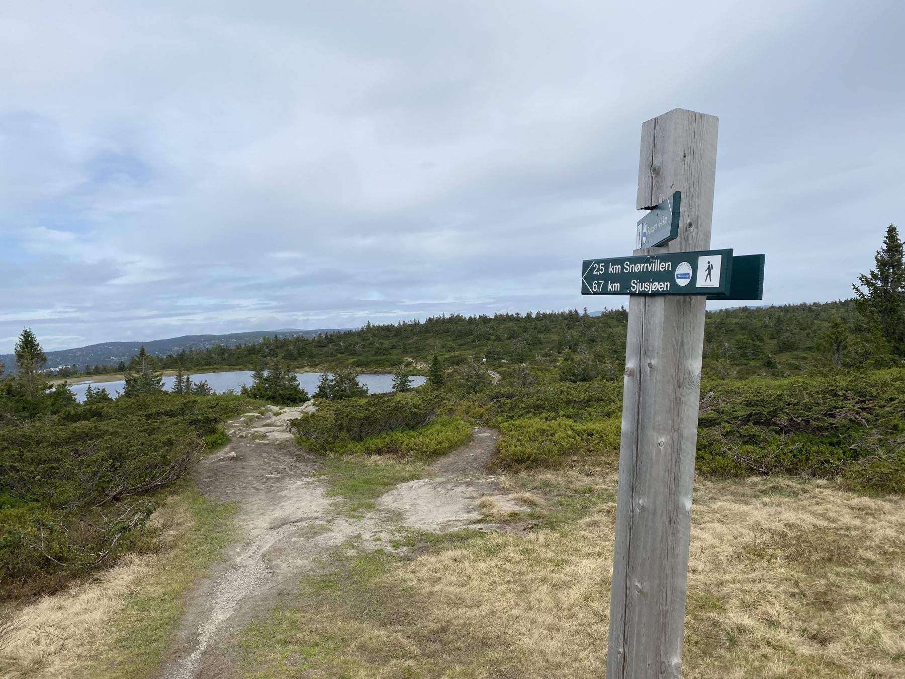
The tour continues towards Snørvillen. You could have included that peak as well, but this tour only does the two peaks. When you get to Guldbrandtjernet, it is easy to go wrong and follow the path further towards Snørvillen. Here it is important to be observant and take the path that runs on the left side of the pond.
The path takes you back through nice forest. From there, we rush back on the gravel road that passes through a nice and varied cultural landscape.
A great tour that can be made both longer and shorter according to shape and desire. You can walk the whole trip or you can combine it with cycling.
You can buy the trail map at reception.
We wish you a nice trip!